Water Water Everywhere! The 2023 Flood Season at Fort Snelling State Park
By Clara Brown, Fort Snelling Visitor Services Specialist Individual Placement / AmeriCorps Member placed at Fort Snelling State Park, Minnesota Department of Natural Resources
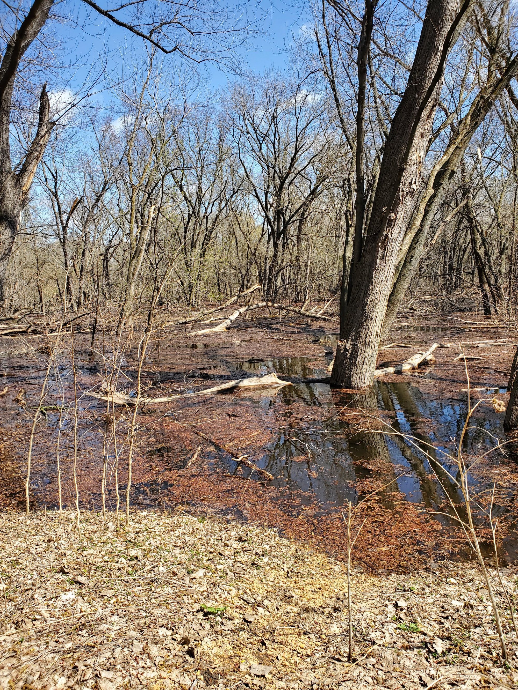
In March, when I was still thinking about whether or not it would snow tomorrow, the Fort Snelling staff were already planning for “the flood.” Fort Snelling State Park floods every year but some floods are much bigger than others.
When predicting the potential flood risk at the park the main factors that are important to look at are how much snow there is upstream, how quickly is it melting, and is there a lot of heavy rainfall. By March we knew that there was a lot of snow north of us so there was lots of snow melt coming our way. Especially after the April Fools Blizzard!
Starting around April 10th we had a stretch of very warm days. When it warms up quickly the ground does not have time to thaw before the snow melts. This means that the snowmelt can’t absorb into the ground and instead runs off into the lakes rivers.
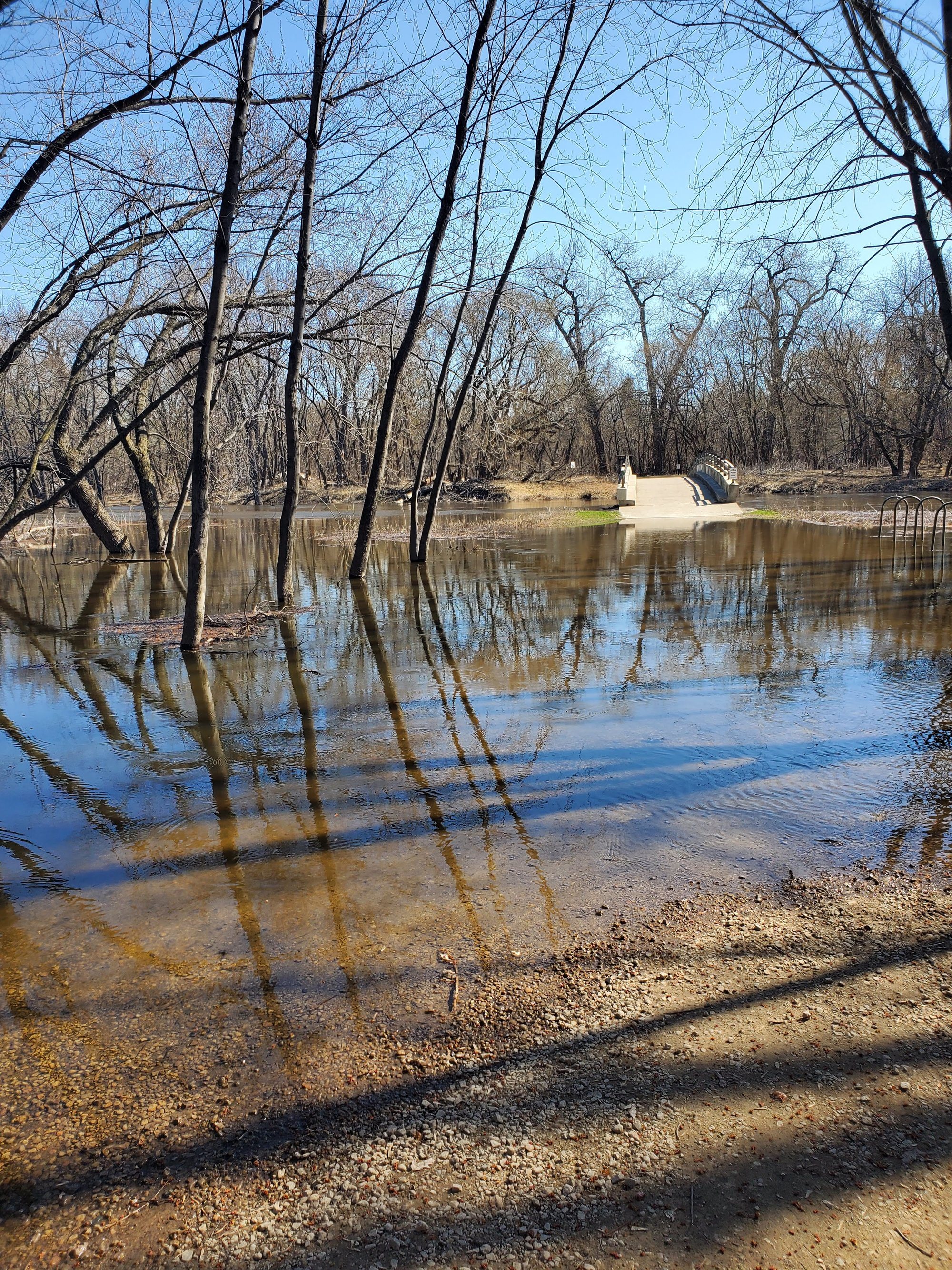
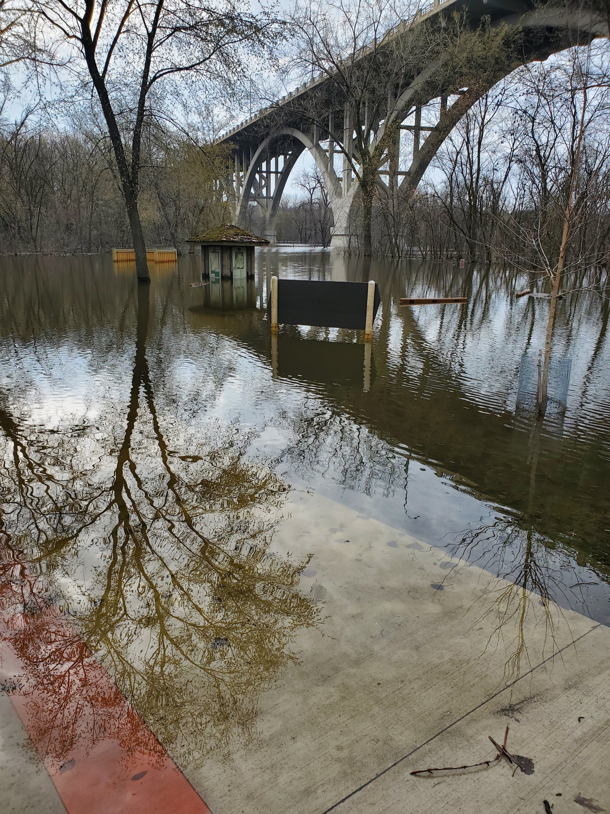
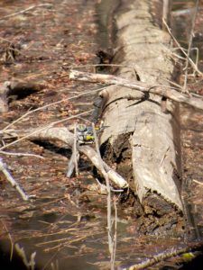
Sure enough, on April 13th flooding started! By the 14th both picnic and pike islands were inaccessible as their roads and bridges went underwater. By the 17th the water had made to the edge of the Visitor Center parking lot. Many species of wildlife including carp, muskrats, beavers, and even Yellow-rumped warblers, took advantage of the rising water which provided access to new food sources. Others, like deer, coyotes, and turkeys were seen high tailing it to the high ground around the Historic Fort.
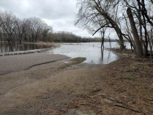
On April 18th we closed the visitor center because the road flooded near Snelling Lake. This made getting to work more exciting since we had to hike down from the Historic Fort to access the visitor center!
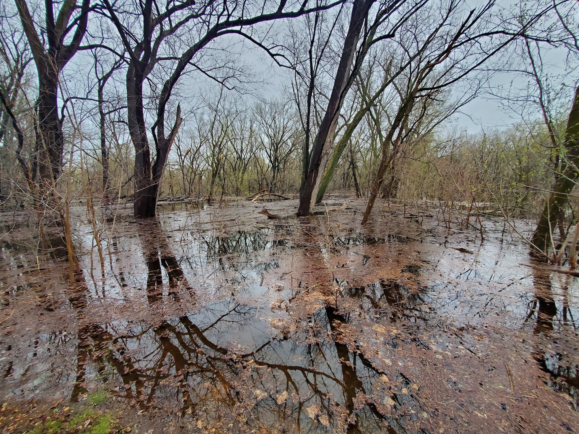
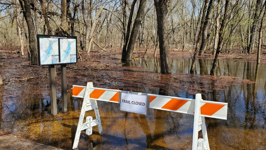
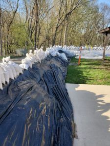
On April 21st the park officially closed to visitors because the majority of the trails and roads were underwater. Water was getting close to the front office so barricades and sandbags were put in place to protect it.
According to the National Weather Service, the Mississippi River water levels in Saint Paul crested at 18.24 feet on April 27. This measurement is based off of a gauge on the Robert St Bridge and is roughly the depth of the water at that point. The Minnesota River crested at 708.85 feet on April 26th according to the US Army Corps of Engineers. The Minnesota River is measured based off of its distance from sea level.
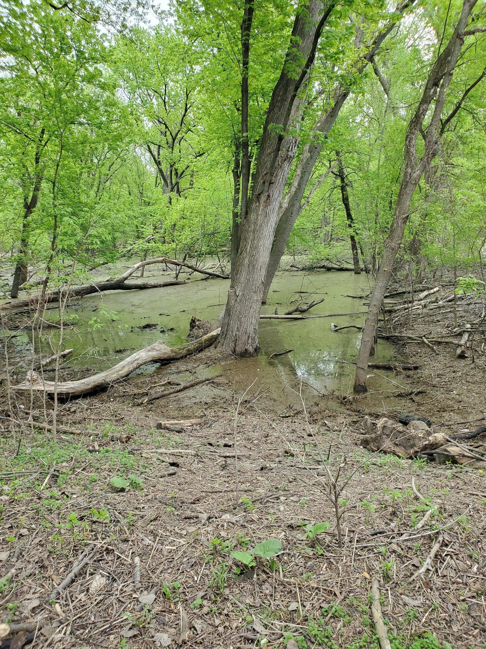
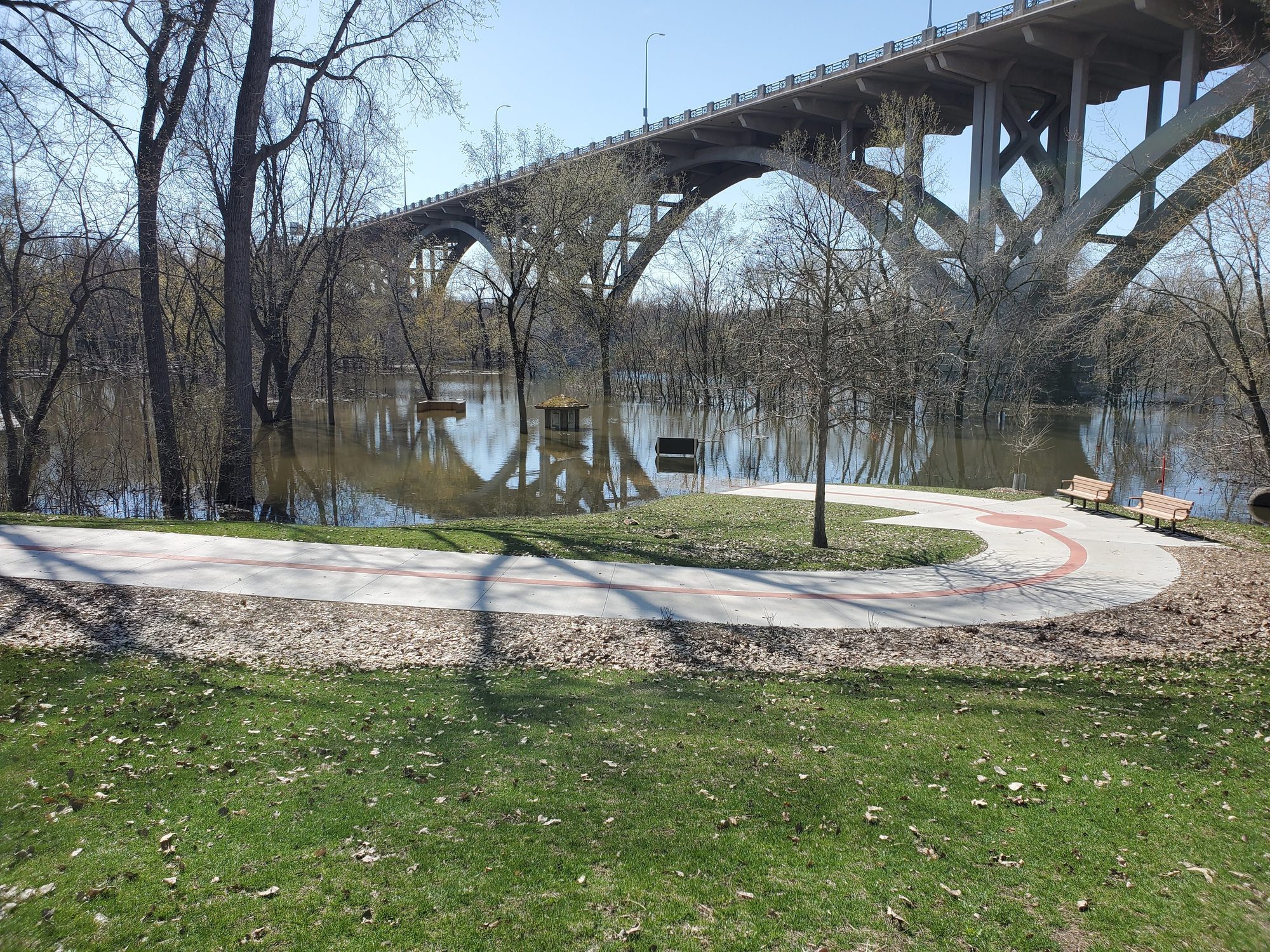
By the 28th the water was slowly going back down. As the water receded it left behind large mounds of silt, fallen trees and debris. The park was cleaned and assessed for safety in the following weeks and re-opened on May 15th. However, with the recent rain, this may not be the case for long.
While flooding in urban areas can be damaging, here in the floodplain forest it’s normal. The floodwaters bring new nutrients to the system and create habitat for floodplain animals. The forest has already exploded to life and we are looking forward to seeing all the baby animals that will be coming any day now.