YO digs into digital maps
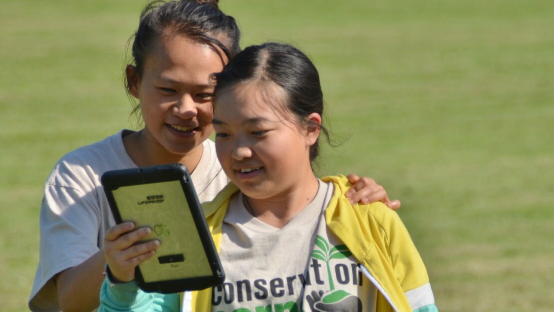

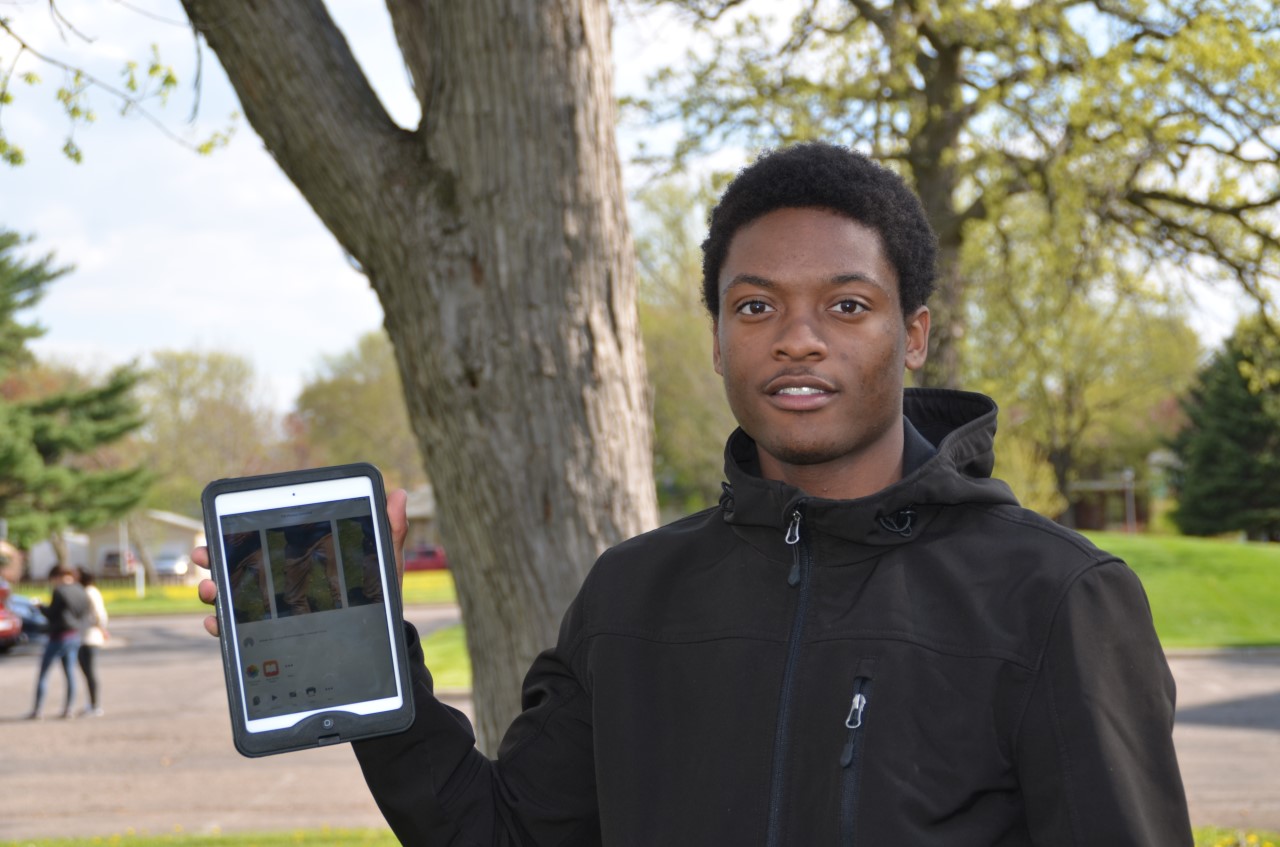
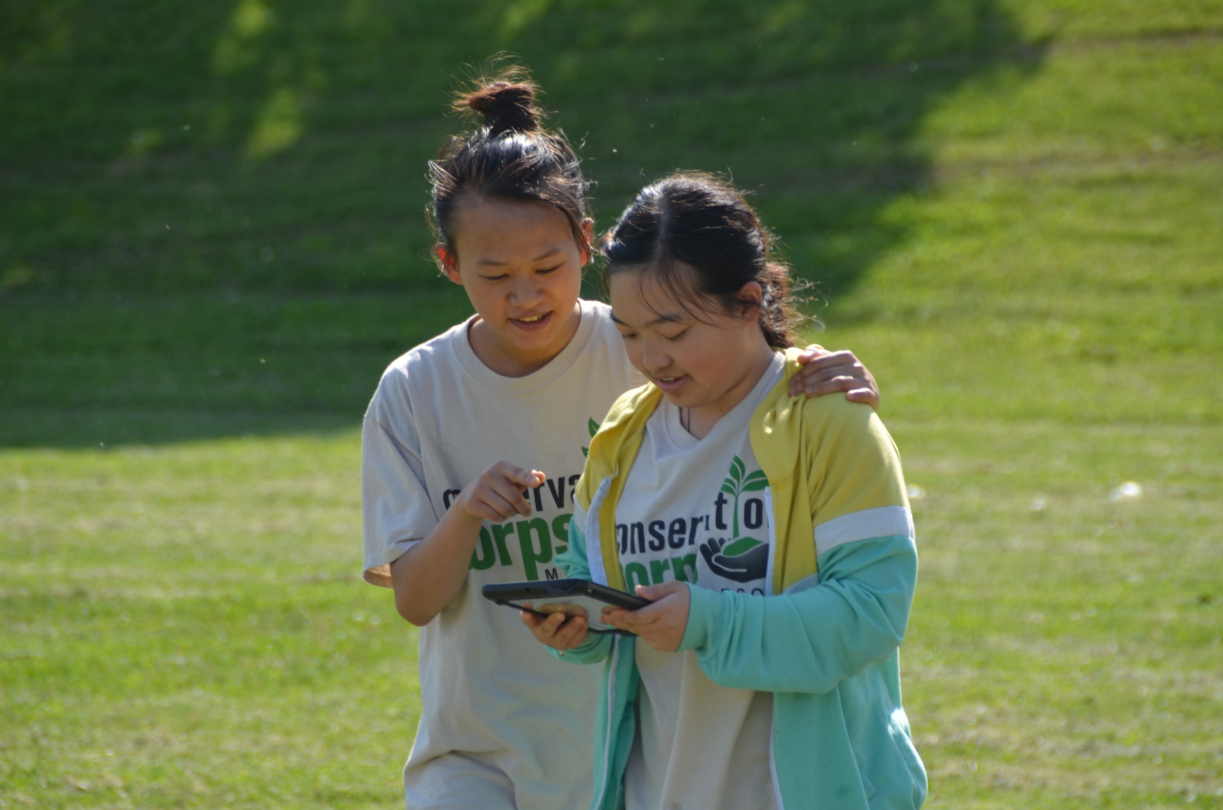
Youth Outdoors is now offering Geographical Information System (GIS) training to all youth participants, thanks to a $5,000 grant from the Best Buy Foundation to purchase tablets and software for digital mapping. “Youth are very tech savvy, and it’s nice they are able to see technology used in a way that is essential in natural resources work,” said Brett Stolpestad, youth leader. “It helps put into perspective what we’re accomplishing on a larger scale.”
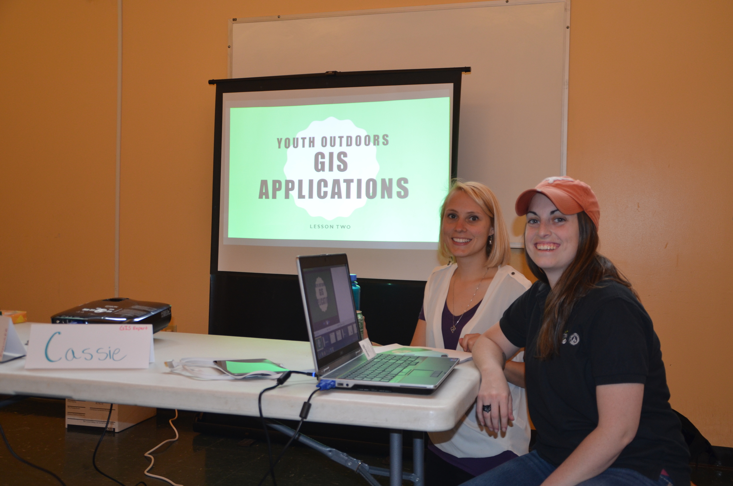
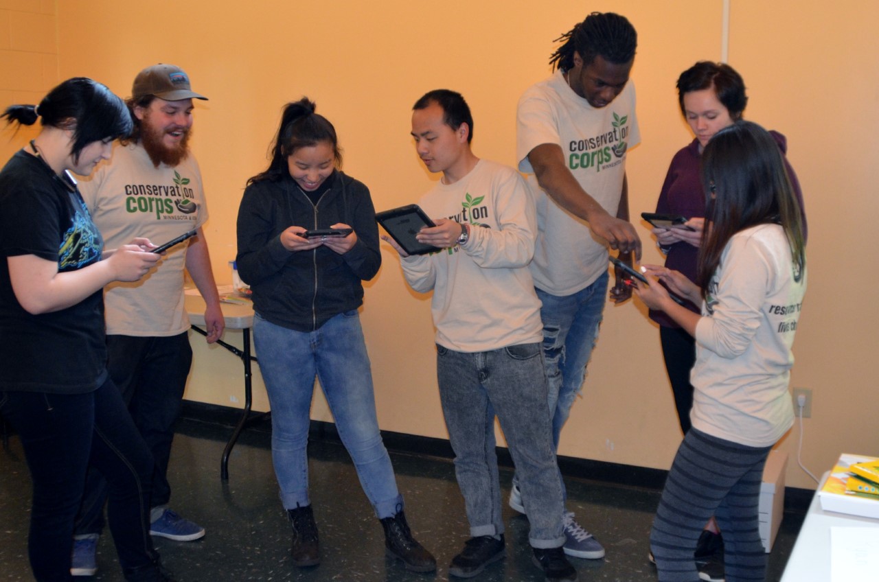
YO GIS training, including a PowerPoint presentation and field exercises, was developed by two Conservation Corps young adults who are serving in yearlong GIS internship positions with the Minnesota Department of Natural Resources. “The GIS specialists made the youth aware that technology is a huge field in general, and it’s really helpful to have those technical skills,” Stolpestad said. “GIS positions are in high demand in natural resources, but it carries over to other fields as well,” such as engineering and architecture.
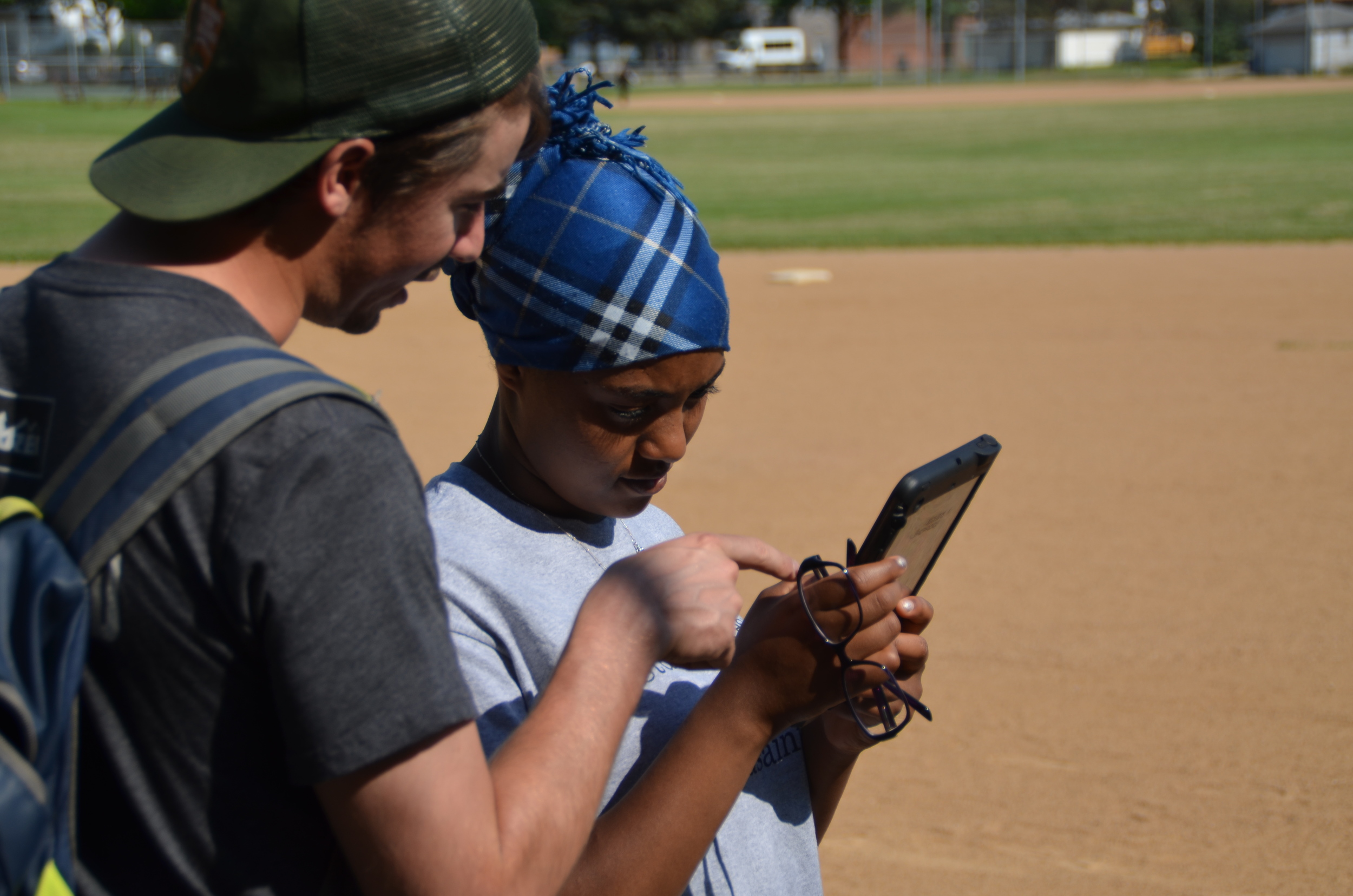
GIS training introduces students to a wide variety of digital mapping applications that natural resource professionals use in the field. For example, when adding an extension to a state trail, DNR staff look at a Watershed Map to identify areas where stormwater might build up in a heavy rain and cause erosion. A Topographic Map shows land height, slope steepness, location of roads and other man-made features to minimize meandering and steep ascents on the trail route. A Resource Inventory Map shows cultural/historical features that a trail might disturb, soil types, and location of rare, as well as invasive, species. A Land Management Map shows who owns adjacent lands.
GIS software is used to store and manipulate large amounts of data from Global Positioning Systems (GPS), which project latitude and longitude coordinates to GIS receivers on the ground. GPS/GIS training was launched during the spring semester of Youth Outdoors. Though all future YO participants will receive basic GIS training, more intensive training will be provided during summer Bridges Project sessions.
Eventually GIS will be used to help plan, implement and record YO service work and accomplishments. Digital mapping is “something we do as adult crews … It would be nice to implement those data collection techniques into our youth projects,” Stolpestad said. “It gives the youth a bigger picture of how their work is impacting the local environment and their communities.”
Youth Outdoors offers training and education to diverse Twin Cities high school students from low-income households. Participants earn a stipend while completing service-learning projects in their neighborhoods, engaging in environmental science education, receiving technical and job skills training, earning high school credit toward graduation, and preparing for college and careers in STEM-related fields.